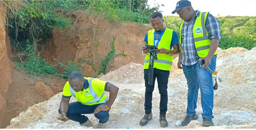
Geological Mapping
The Archaean basement in the area is dominated by banded biotite gneisses (Rollinson, 2016), with some areas of pyroxene and hornblende-bearing gneiss (indicating granulite and amphibolite facies). Most of the gneisses are felsic in composition, but more mafic to ultramafic bodies (dominated by amphibolites) form masses a few centimeters to a few meters in size within the gneisses (MacFarlane et al., 1981).
Migmatitic textures are common, with abundant sheets and veins of granite and granitic pegmatite cutting the gneissose banding. These veins and sheets are deformed in shear zones, such as those which bound the Sula Mountains Belt. (Goodenough et al., 2018).

- Renewable energy
- Heavy equipment
- Mining & exploration
- Mechanical works
- Mining & exploration
